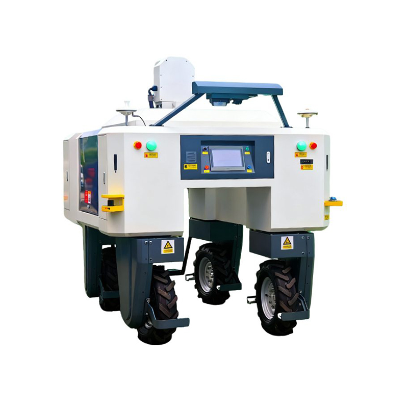
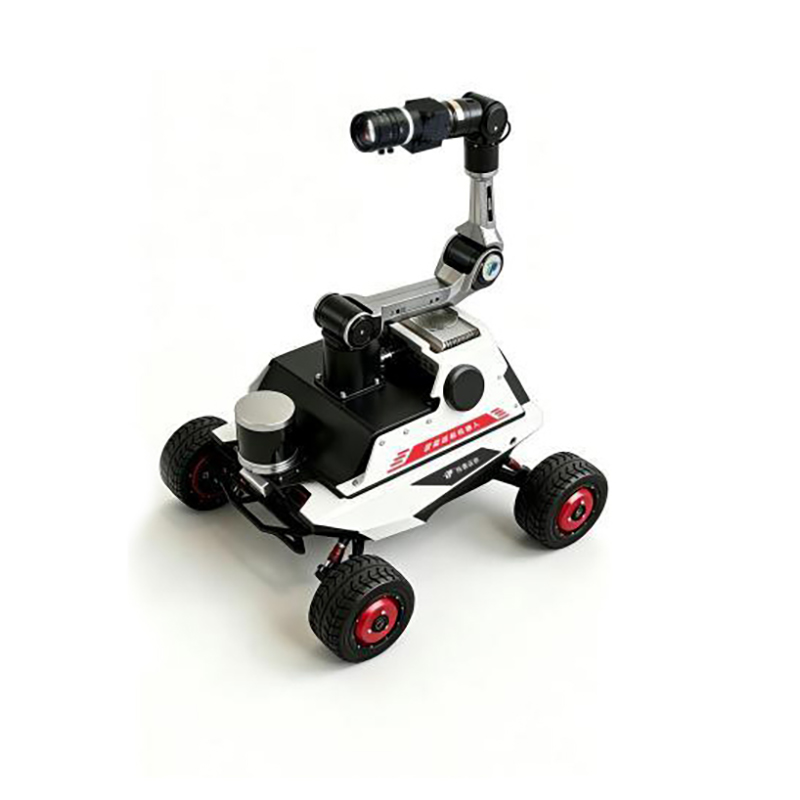
Built on a self-driving autonomous vehicle, the platform integrates multiple imaging technologies, including visible light, hyperspectral, thermal infrared, and LiDAR . It combines autonomous navigation, data acquisition, and data analysis into a single system, enabling high-throughput and non-destructive measurement of plant canopy structure, growth status, and nutritional traits .
Visible Light Imaging Analysis Includes:Plant width (broad/narrow),Green area ratio,Yellow area ratio,Projected area,Convex hull area,Convex hull perimeter,RGB colorcomponents,RHS color index,Mean hue,Mean saturation,Mean brightness,Smoothness,Uniformity,Compactness,Eccentricity,Circularity,Correlation,Energy
Hyperspectral Imaging: Enables calculation of plant canopy spectral reflectancecurves and extraction of over 30 commonly used vegetation indices, such as NDVI andGVI . It also supports analysis of biological parameters including chlorophyll contentand canopy nitrogen content, facilitating assessment of plant composition changes,nutritional status, and disease occurrence .
Thermal Infrared Imaging: Measures canopy average temperature, maximum temperature, and minimum temperature . It can generate temperature distribution mapsand perform regional temperature analysis .
Depth Imaging:Measurement parameters include plant height, leaf area, leaf area index (LAI), projected area, canopy coverage, mean canopy height, mean canopy length,mean canopy width, and leaf area density.
LiDAR:Measures plant height, leaf area, leaf area index (LAI), projected area, canopycoverage, mean canopy height, mean canopy length, mean canopy width, and leafarea density.



 Sales Manager